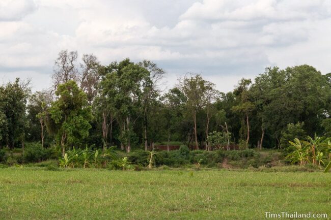
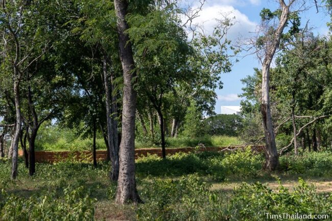
Noen Wat Khok (เนินวัดโคก) was a small temple in its day, but it was likely quite an important one. Like West Mebon in the Angkor region, Noen Wat Khok sat prominently on an island in the middle of a massive baray.
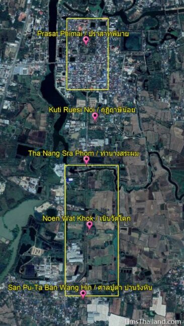
Now almost entirely silted in and used mostly for agriculture (though it’s still clearly recognizable when seen from above), the old Phimai Baray stretches 750m by 1800m, the biggest baray known in Thailand. It begins a kilometer south of the city wall and has the exact same south-southeast alignment as the town, though it’s set a bit off-center to the east. The high berms around the edge now hold roads and the one to the east is assumed to have been the route of the so-called Royal Road (This is a modern name; what, if anything, the Khmer called it is unknown.) connecting Phimai with Angkor.
The temple’s purpose is unknown, though several stone Buddha statues were found by the Fine Arts Department in the late 1950s, so we know that at least at the end it served as a Buddhist shrine. Its construction date is also unknown, though the construction materials and carvings suggest it was built in the early 11th century, before Prasat Phimai, though it could date back to the mid-10th.
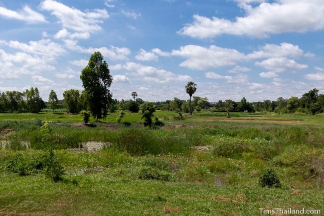
The “island” is now a small, square wooded hill. A low moat-like ring of permanent water surrounds it. This, presumably, was created when the dirt here was dug up to make the island.
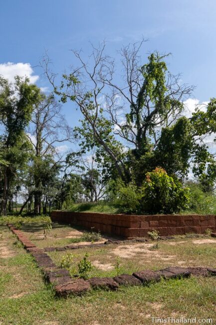
More of a monument to the original temple – a single brick tower on a laterite base – than a restoration (because there weren’t enough blocks remaining to rebuild anything), there is presently a meter-tall wall made of new laterite around the spot where it once stood.
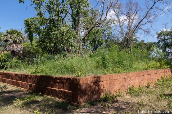
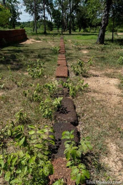
This is surrounded by a single-stacked roughly twenty-meter square representing, and using some original laterite blocks from, the enclosure around the temple
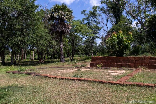
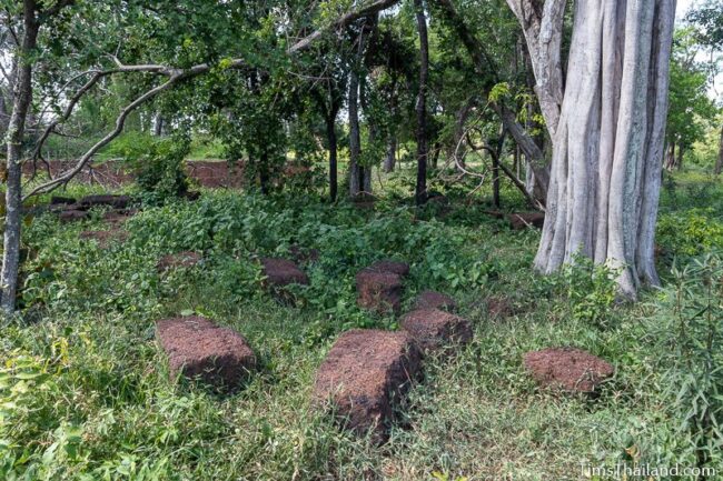
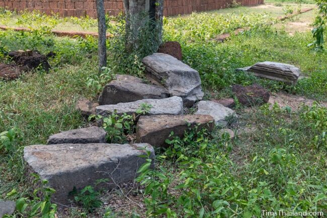
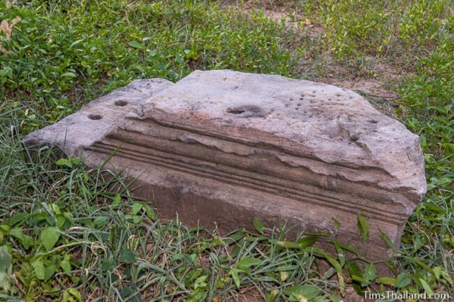
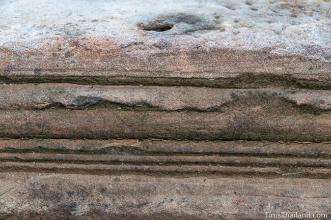
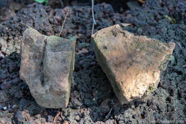
Some laterite and sandstone blocks that had been widely scattered around are now gathered together on the north side. The latter are broken parts of a doorframe.
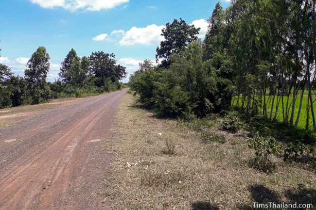
By bike or motorcycle you can reach Noen Wat Khok from the north. Cross over the dam at the northwest corner of the baray, follow the Khem River to the northeast corner, head south to the canal and then follow it west where you will see the “island” to the south A lot of these roads are not on Google Maps, but you can see them in satellite view. With a car you’ll need to go to the southwest corner of the baray and take the road just north of the Esso petrol station. Google Maps shows more direct routes from the north, but the bridge indicated on the map doesn’t exist.
There are two other Khmer sites around Phimai Baray: Tha Nang Sra Phom pier at the north end and the unexcavated San Pu-Ta Ban Wang Hin to the south. Visiting all three makes a nice rural bike trip from Phimai town.
Location – Tambon Nai Mueang, Amphoe Phimai, Nakhon Ratchasima Province
Other Names – Prasat Wat Khok (ปราสาทวัดโคก), Noen Khok Phra (เนินโคกพระ), Wat Khok Ancient Site (โบราณสถานวัดโคก)