Many people visiting the amazing Prasat Phimai temple are unaware that in its day it stood at the heart of a large important city. Lying on the Mun River and along overland trade routes to the north and south, as well as having abundant salt deposits (there are none near Angkor), Phimai city prospered on trade during its time in the Khmer empire. And many remnants of the town infrastructure from those golden years remain today.
The Phimai region (Called Vimayapura/วิมายปุระ by the Khmer and later Thai-icized into Phimai.) was the center of the Mahidharapura dynastic family, followers of Mahayana Buddhism, that ruled here autonomously in a tight alliance with, rather than as vassals of, the Khmer. Eventually their lineage took control of the whole empire when their descendent Jayavarman VI (r. 1080-1106) became king, and it was he who commissioned Prasat Phimai temple. Arguably the two greatest Khmer rulers, Suravarman II (r. 1113-c. 1150), builder of Angkor Wat, and Jayavarman VII (r. 1182-1219), who converted the empire to Buddhism, were also from this family.
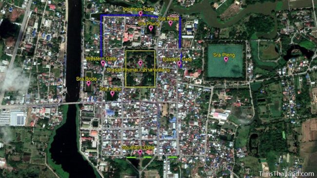
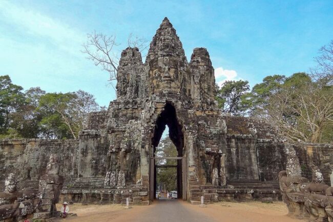
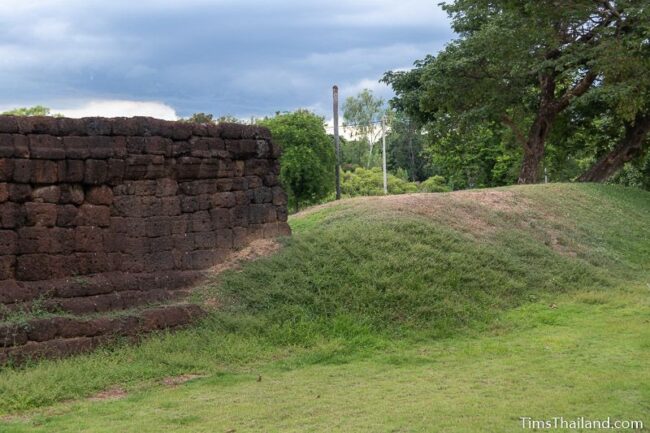
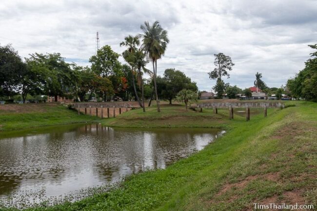
The city fortifications measure about 1020m by 580m and have gates on all four sides. These gates, made mostly of laterite, were built in the early 13th century by Jayavarman VII, and before they toppled could have resembled his grand gates at Angkor Thom in present-day Cambodia; though probably without the famous faces. All four are of equal size and have the same cross-shaped design, though they’re incomplete, so we can’t know for sure if there were any decorative differences between them. The gates line up with Prasat Phimai’s main prang, so the east and west gates are not quite in the center of the wall. The names of the gates used today were bestowed in modern times.
The southern gate was the main entrance to the city and the so-called Royal Road (This is a modern name; what, if anything, the Khmer called the road is unknown. I think Salt Road would be a better name.) from Angkor, the Khmer capital, led to it. The 225km route did not, it is assumed, follow the present road south, rather it veered east and then down along the Old Phimai Baray.
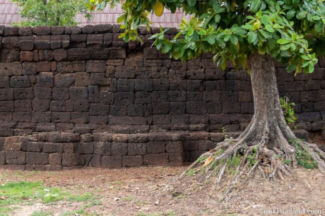
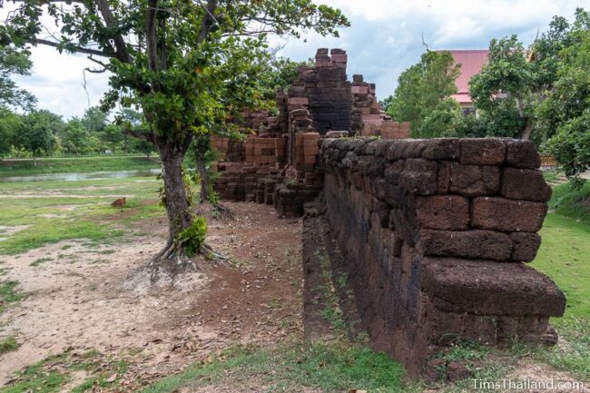
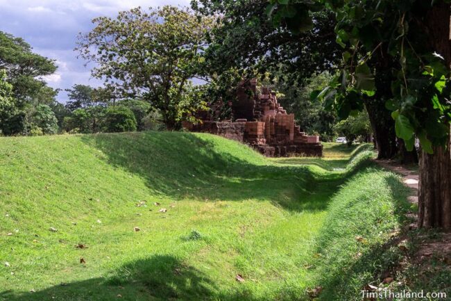
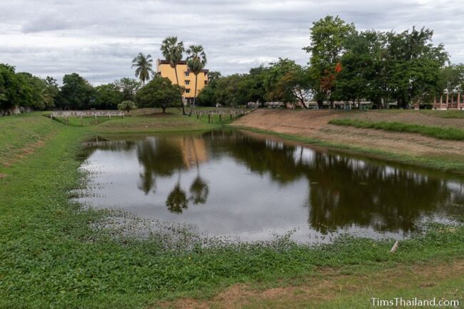
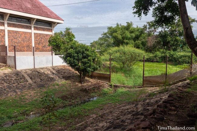
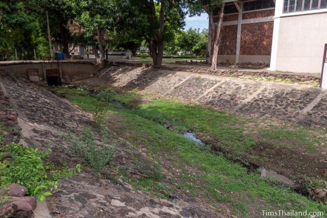
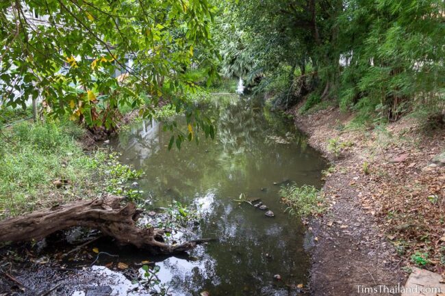
The city wall was surrounded by a moat, about a third of which remains. The Mun and Chakarat rivers lined much of the city too, providing additional protection. This location, which was settled long before the Khmer arrived in Northeastern Thailand, was surely chosen because of this natural fortification.
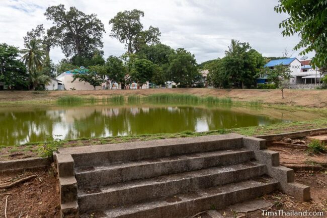
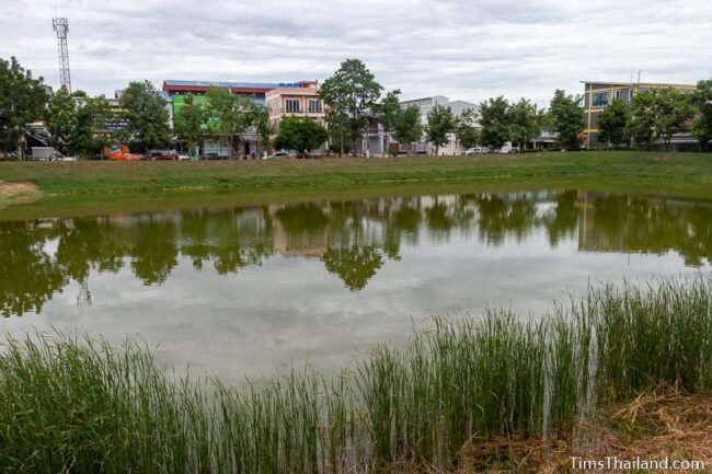
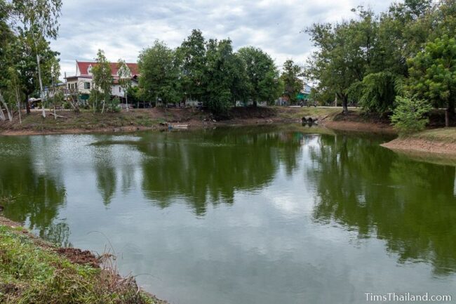
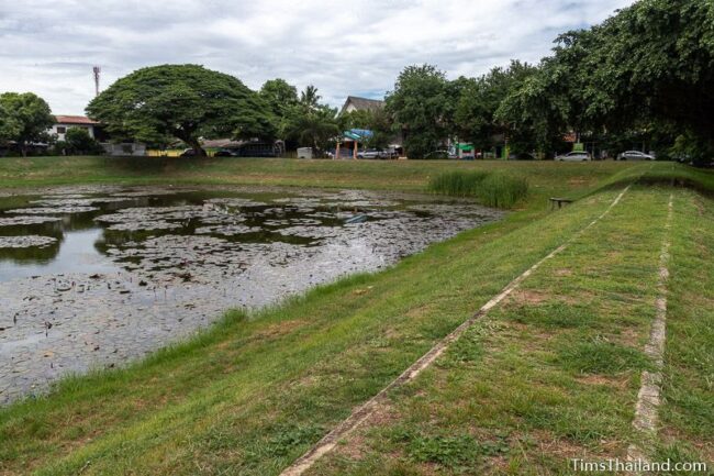
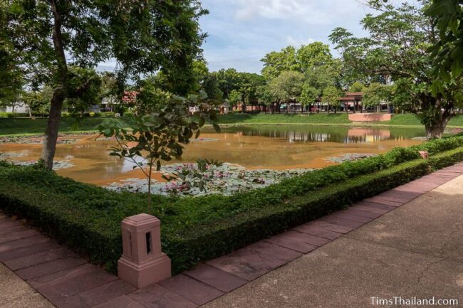
Control of water was key to the Khmer’s long-term success and they built many baray (reservoirs), both for servicing the city and providing irrigation to rice paddies. There were probably more than the five baray still found today. There is no certainty on any of their construction dates, but one inscription found at Phimai mentions building water tanks in 1108, and some of those are probably the ones still here today. All, except Sra Kwan baray, which is part of the Phimai National Museum, are now public parks with laterite walking paths around them, though only Sra Pleng, the largest, is used much.
While we know that Phimai town’s present road network is not exactly the same as it was during the Khmer era, it’s likely that some of it remains unchanged.
The sites below are presented starting at the south and going clockwise around the city. To explore further, there are also several other Khmer sites not far from Phimai.
Southern Gate
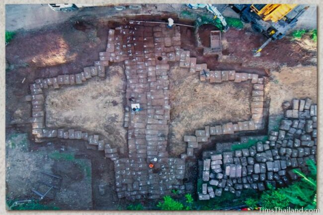
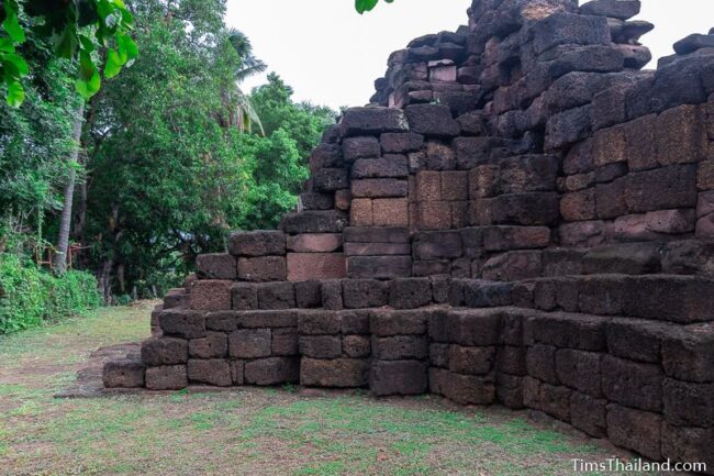
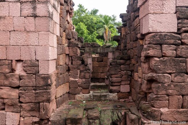
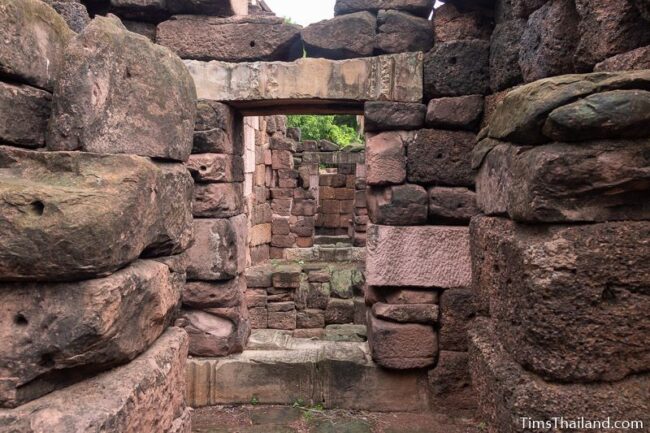
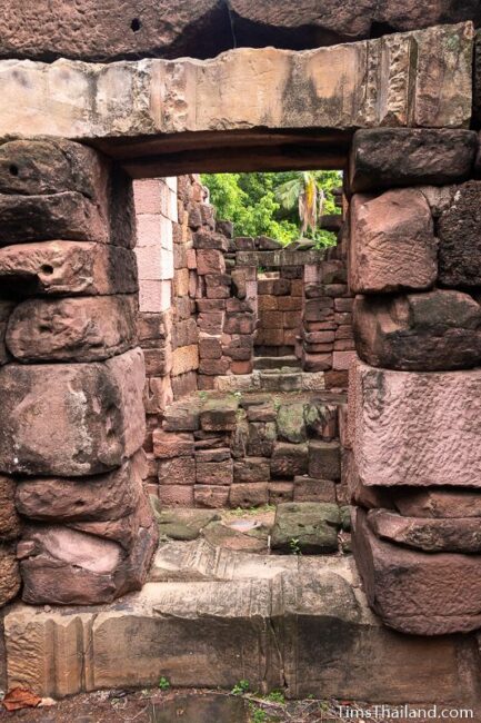
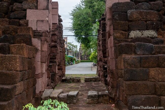
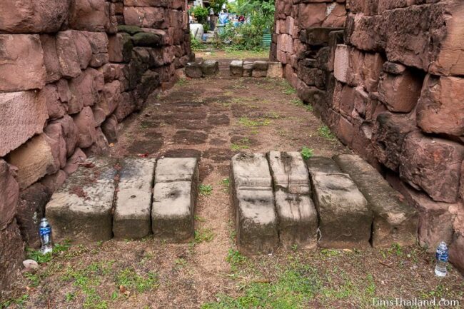
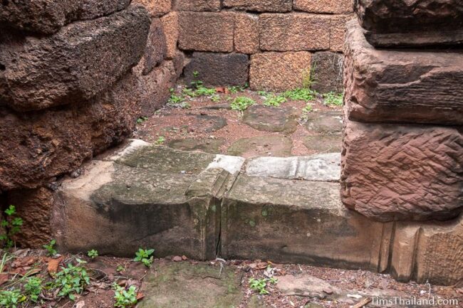
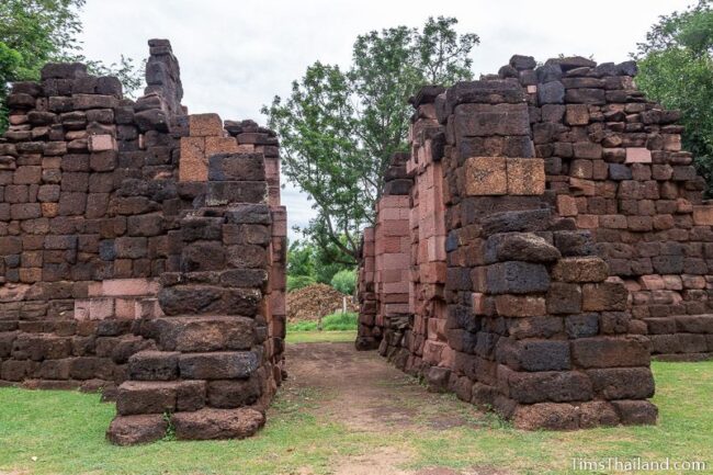
Phimai’s main city gate, known as Pratu Chai (ประตูไชย) or “Victory Gate,” is in the best condition of the four, though even it has none of its tower left. But, because lots of new stone was added during a 2018 restoration it will need many years of weathering before it’s the nicest looking of the bunch.

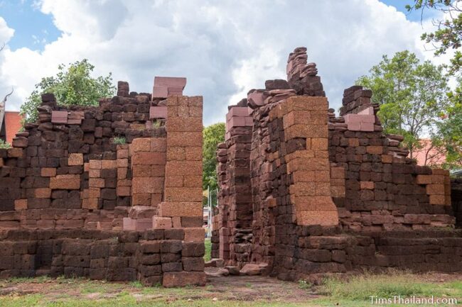
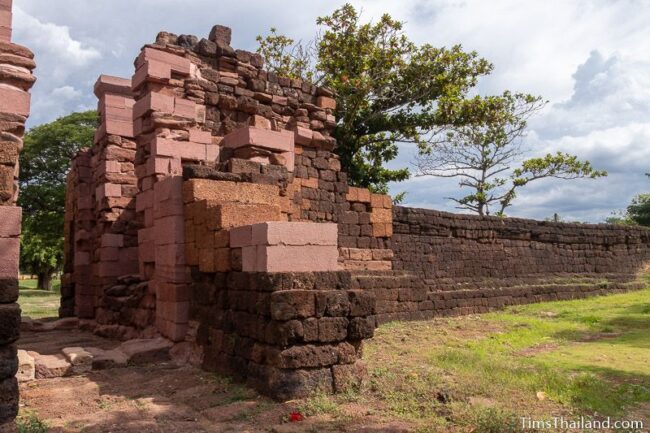
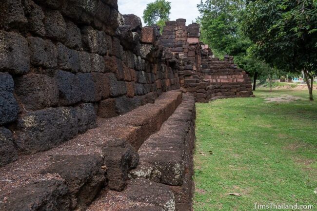
The main body, built of both laterite and sandstone, is about 17m wide by 12m deep with a 2.75m-wide passage through the middle: large enough for elephants and ox-carts to pass through. Laterite walls extend out about 18m on both sides and then join with the earthen wall that ringed the city. These berms only remain in the south.

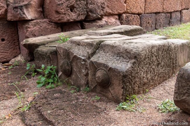
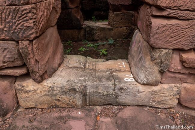
Inside, on both sides of the passageway, are three small chambers sitting about 2m above the ground. The height was probably helpful for inspecting wagons or interacting with people riding elephants. On the ground are the ancient equivalent of speed bumps with grooves worn into the sandstone from wagon wheels.
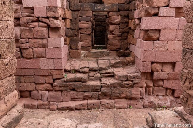
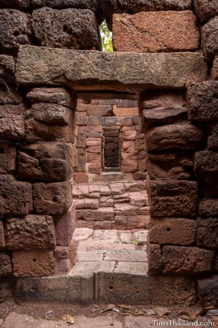
Post holes here show that there were originally large wooden doors to seal the gate and excavations show there was a tiled roof.
The triangular ponds in front of the gate are presumed to have been part of the moat in the Khmer era.

Sra Kaew Baray
Just 75m from the southwest corner of Prasat Phimai’s outer wall, Sra Kaew (สระแก้ว) is about 70m by 80m, the second biggest of the city’s baray and the biggest inside the city wall.
Sra Bode Baray
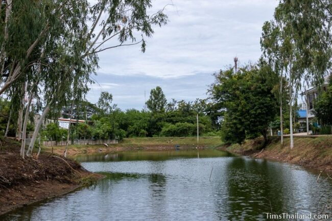
Across the road from Sra Kaew, Sra Bode (สระโบสถ์) is a long, narrow baray, about 55m by 160m, fronting the Chakarat River. In the Khmer era the river and baray may have been linked. It lies outside the city wall and may have been built to serve visitors to the city. Unlike Phimai’s other four baray, Sra Bode has an island in the middle, though it’s unknown if this was part of the original or if it was added later, perhaps in the late 18th century when the Ayutthaya kingdom controlled the town.
Western Gate
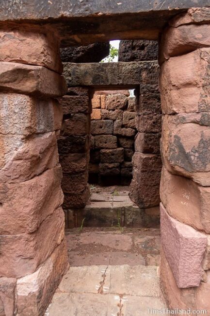
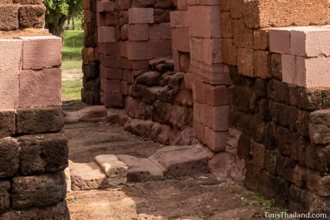
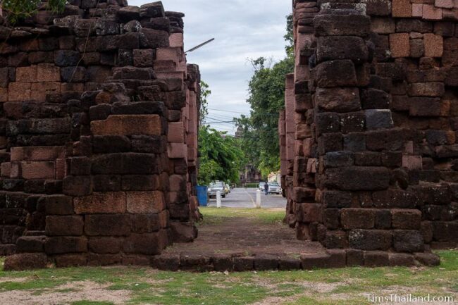
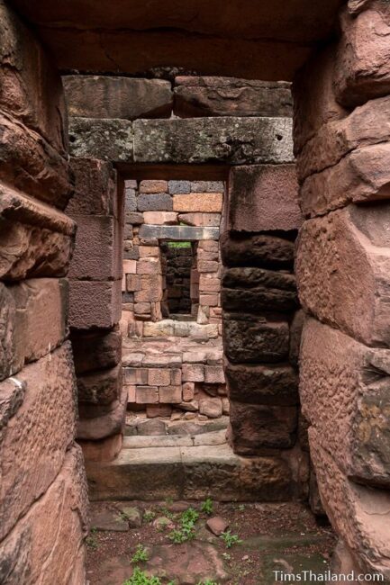
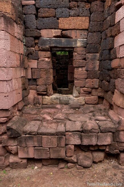
Known as Pratu Hin (ประตูหิน), or “Stone Gate,” the western city gate is the second-most complete and has the same size and design as the southern gate, described above, except that the side chambers are a bit lower. Overall, I think it looks better and has more character than the southern gate because the restoration is older (1987-89) and the added stone has aged more.
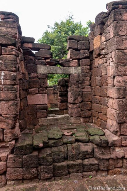
Here you can clearly see how the builders repurposed pillars and/or vertical sections of door and window frames from elsewhere into places they obviously weren’t carved for, including “speedbumps” and door sills.
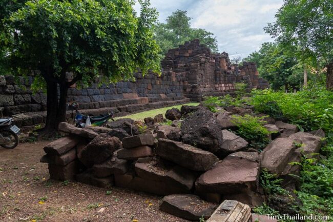
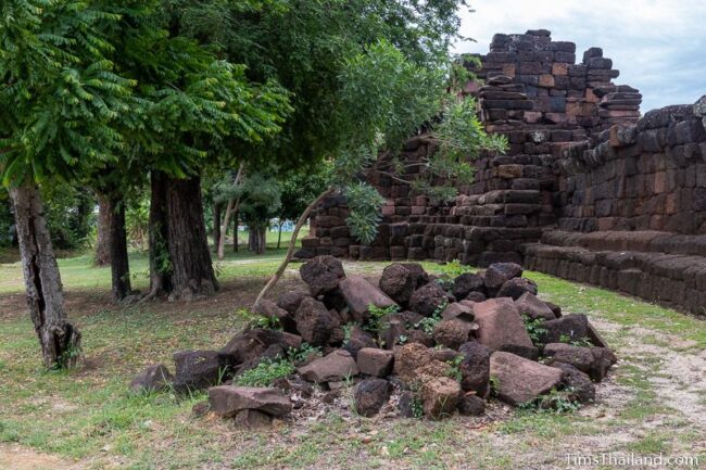
A pile of laterite and sandstone unused during the restoration sits to the southwest, and there is one triangular pond in front of the gate, which, like those at the south gate, was probably connected to the moat in the Khmer era.
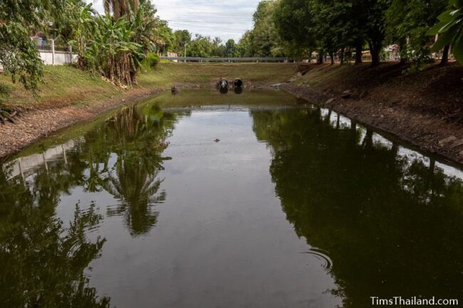
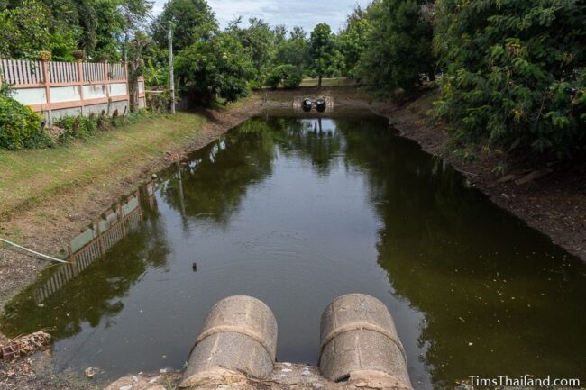
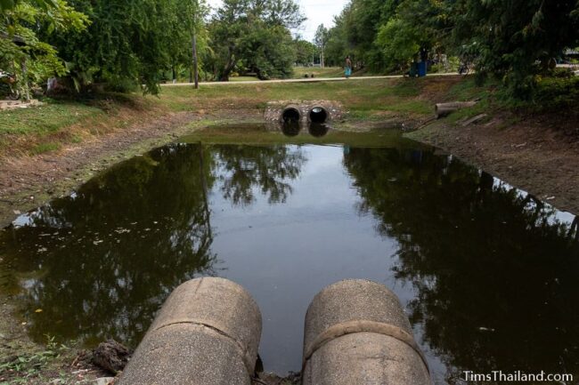
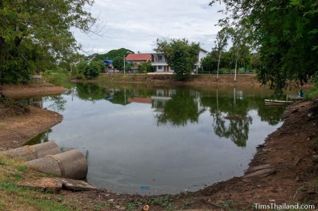
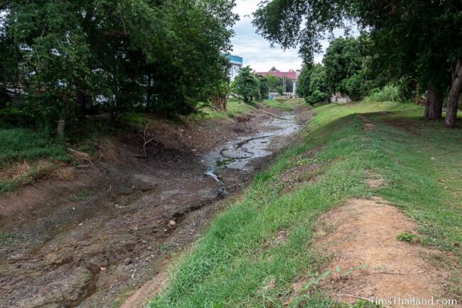
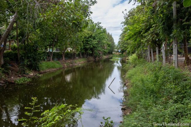
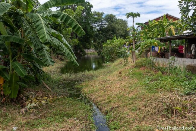
Western and Northern Moat
Beginning just north of the western gate is an 800m stretch of the remaining moat. It’s crossed by several roads, but the water remains connected by culverts; although the first little, algae-covered chunk is effectively detached because the drain pipe sits quite high up and water normally only reaches it after big wet season rains.
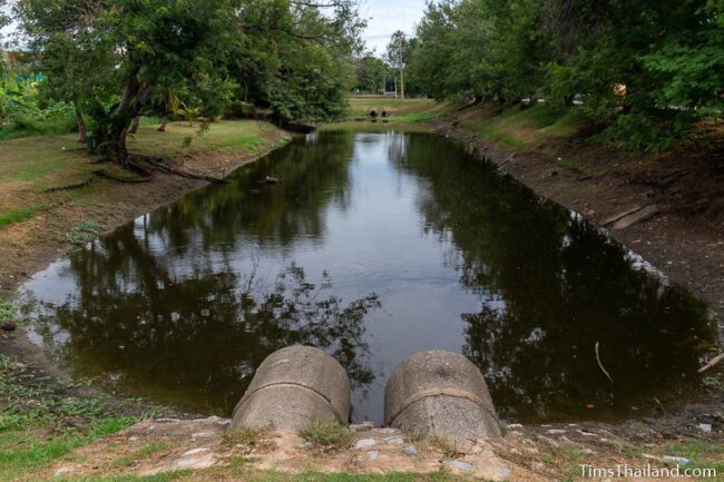
Up at the northeast corner, the moat turns to follow the northern city wall, but there is also a wide section here that locals call Nong Bon (หนองบอน), meaning “Cocoyam Pond.” Whether this was built by the Khmer or added by later rulers is unknown; either way, it was previously connected to the nearby Chakarat River to bring water into the moat.
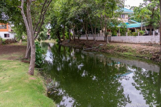
After Nong Bon, the moat runs uninterrupted past the northern gate and up almost to the National Museum where it meets the Mun River.

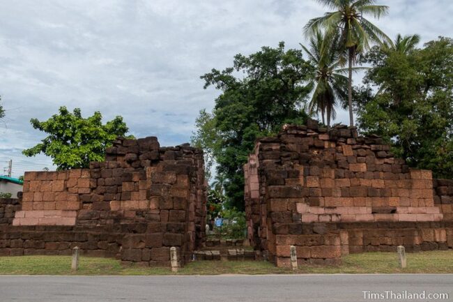
Northern Gate
The northern city gate is known as Pratu Phi (ประตูผี), which translates as “Ghost Gate” but is sometimes called “Death Gate” in English. Local legend says that this was where bodies were taken out to the cremation grounds, though there’s no evidence for this.
This is the least complete of the three gates still standing and has the same size and design as the southern gate, described above, though like the western gate, the side chambers are a bit lower.
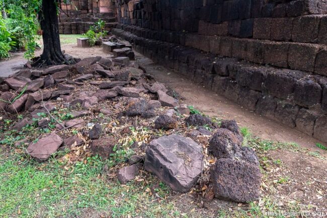
There is a large pile of unused laterite and sandstone blocks at the southwest end and a smaller one to the northwest.
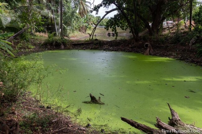
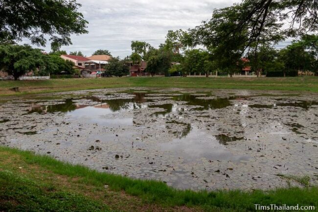
Sra Plung Baray
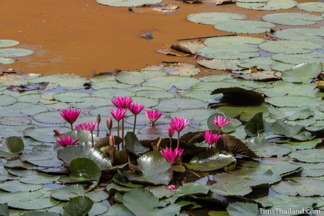
Just to the southeast of Pratu Phi is the 75m square Sra Plung (สระพลุ่ง), which has plenty of pink water lilies.
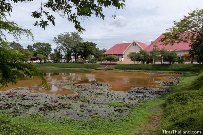
Sra Kwan Baray
Sixty meters east of Sra Plung, across Tha Songkran Road, the slightly bigger (about 75m by 85m) Sra Kwan (สระขวัญ) fronts the Phimai National Museum. This baray‘s flowers are also pink water lilies.
Eastern Moat
The remains of the moat on the east side of the city start at the back of the National Museum and run for 400m from the Mun River down to the eastern city gate. There is one 40m gap at Chomsa Road.
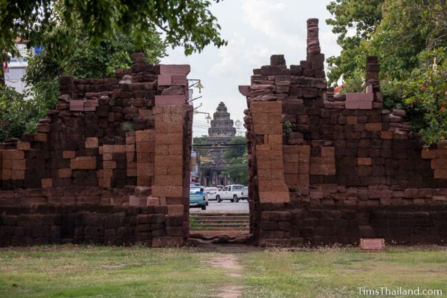
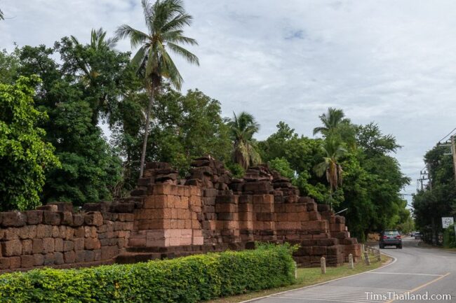
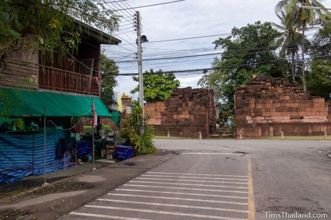
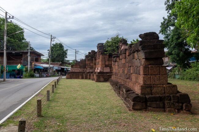
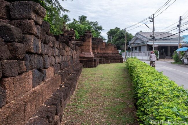
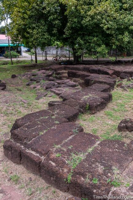
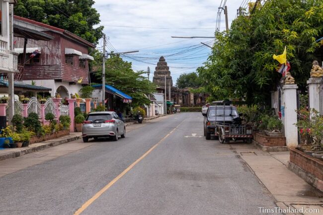
Eastern Gate
Very little remains of the unnamed eastern city gate; mostly just the laterite base of the northern half and dozens of scattered laterite and sandstone blocks around it. It would have been the same size and design as the southern gate, described above.
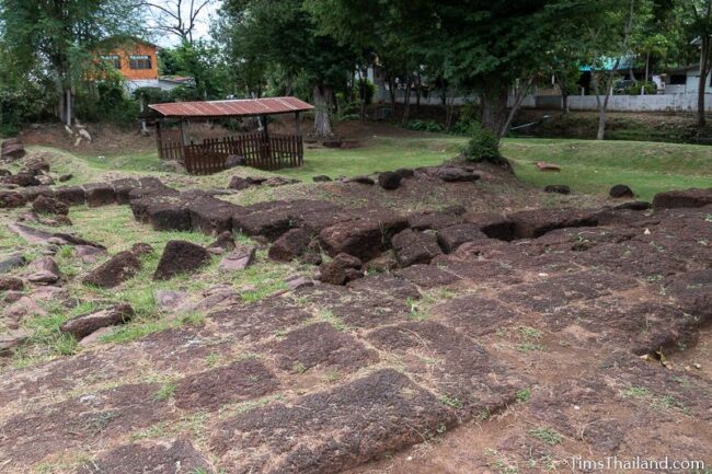
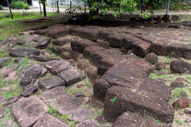
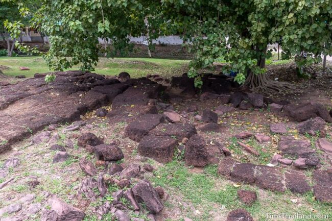
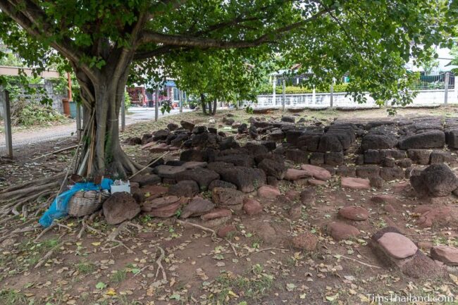
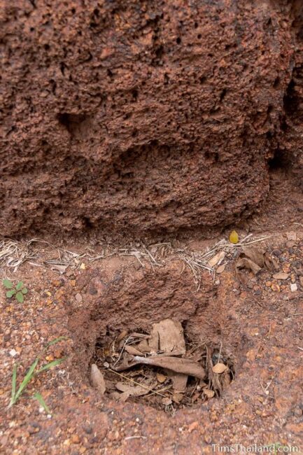
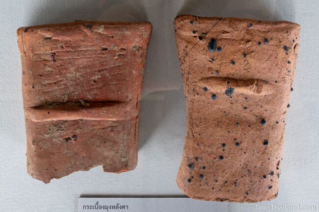
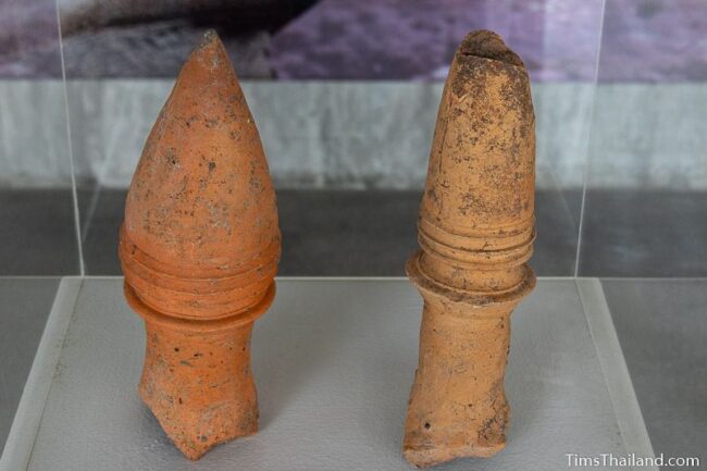
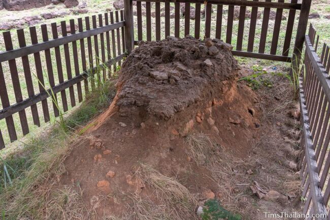
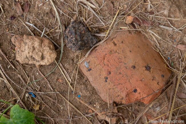
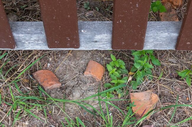
Under the little roof is a ruined remnant of an old brick kiln. It was used for making clay roof tiles and lots of broken bits are still lying around here.
It appears that the gate is a bit off kilter in alignment with the temple, but it’s actually the road between them that’s off – it does not follow the exact route of the original.
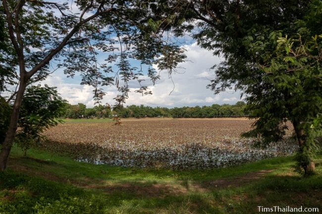
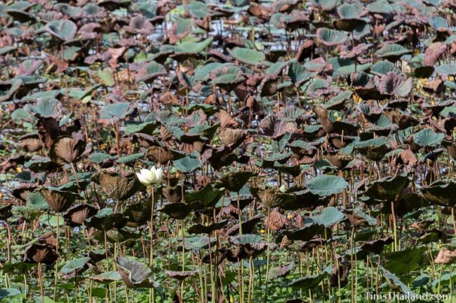
Sra Pleng Baray
Just 200m outside the eastern gate, Sra Pleng (สระเพลง) is the largest baray by the city (about 260m by 270m), though it’s small compared to the former Phimai Baray. It is covered with white lotuses.

Location – Tambon Nai Mueang, Amphoe Phimai, Nakhon Ratchasima Province
Angkor Thom southern gate photo by Olaf Tausch from Wikimedia Commons. Thanks to Wilasinee Chaemsaat at the Fine Arts Department in Phimai for answering some questions.